 |
|||||
| What's going on | Flight Log |
|
|
Home | |
|
Big Flight Over America This project comes at beginning of 2012 after "dust off" game Microsoft Flight Simulator X (FSX), which I didn't flew for a long time and which I started to miss. Flying is my big hobby and as young man I completed glider school with successful obtaining base glider license, and of course, I was always interested in gliding in FSX game. Simulation of gliding in FSX is quite well done, so it is possible to use classic thermals as like as ridge lift on the sides of hills. Who knows gliding sport, know what I am talking about, who not, see Wikipedia e.g. Simulation of thermals in base FSX is not completely perfect, mostly because of discrepancy of thermal's occurrence in relation with graphics of clouds. In real gliding, thermal is rising air formed upon the ground warmed by sunlight, and then cumulus clouds are created from condensed water upon this stream of air, These clouds are the best way for pilots to identify thermals. According to shape of these clouds, their progress in time etc., skilled pilots could estimate, how strong thermal is, how long it will exist, or if it is already fading out because of change of air conditions. Based on it, they can control their flyover. In base FSX, there is no relationship between clouds and thermals, so they are visualized by transparent spirals in the air. But there is CumulusX add-on existing, which generates near realistic behavior thermals including cumulus upon each of them. Even, the game consider season, time of day and geographical conditions to differentiate individual thermals meaning their strength, diameter, height and, of course, amount of their occurrence. So these unpredictable conditions still forces glider pilot to make right decisions about the flight way, which is interesting. After I was bored to pointlessly circle in
thermals upon the different places, I started to think about possibility of
flyover the whole continent only using thermals and ridge lifts, e.g. North
America. It was necessary to specify plan and some rules to approach as much
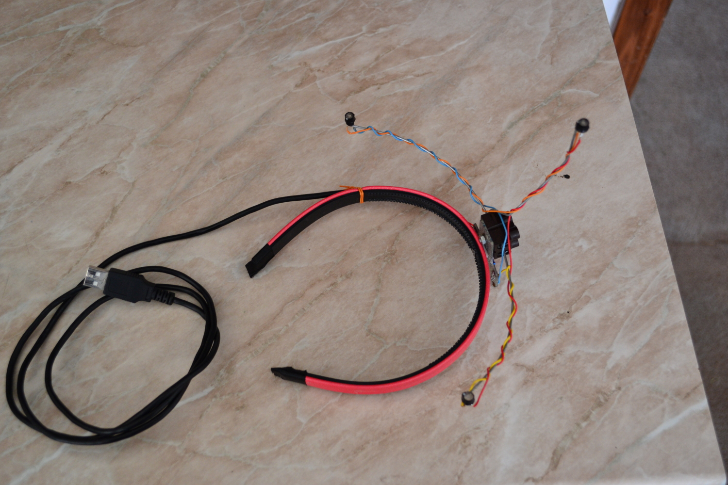
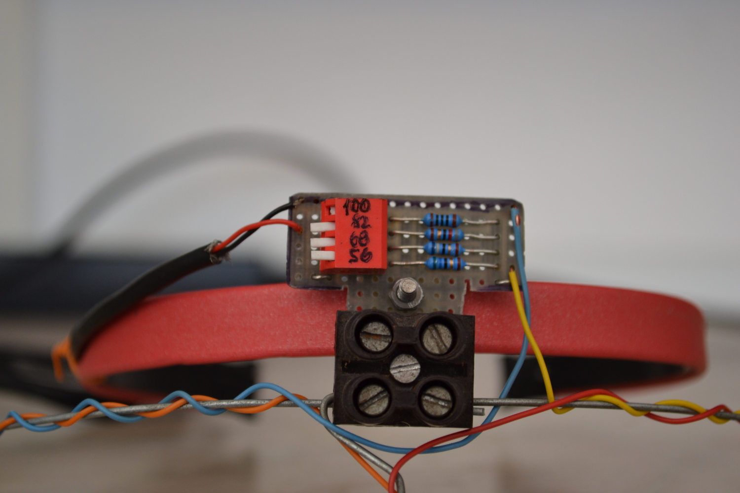
as possible reality. Here they are: This is rough skelet of my gliding journey, details can be found in Flight Log. If you are interested in my "cockpit equipment", excepting of PC and one 24" display it is Saitek X65F Combat Control System including Saitek Pro Flight Rudder Pedals :-) |
|
Map of actual flyover state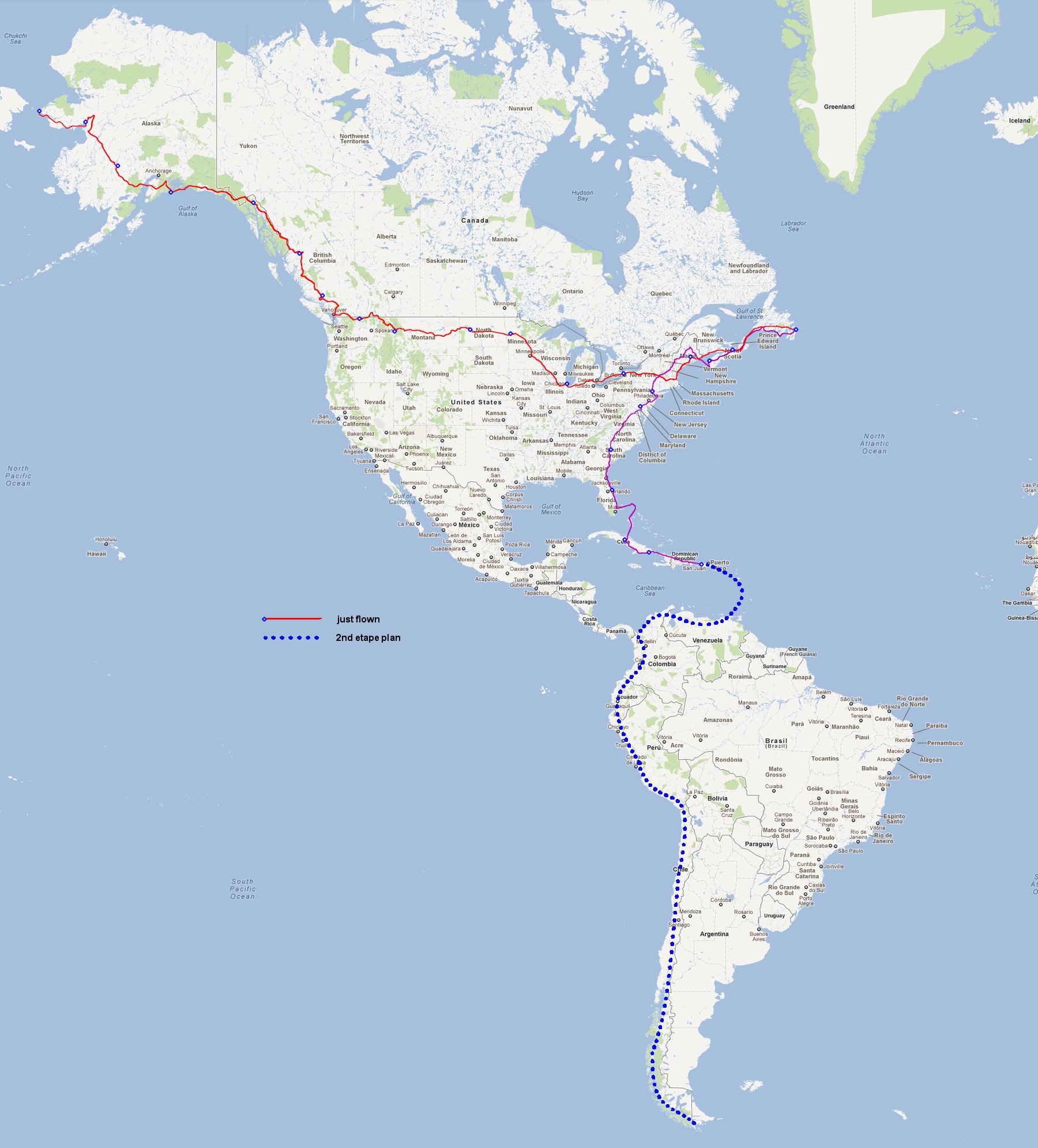 |
Flight statistics: 1st ETAPE 2nd ETAPE Note:
|